
For farmers, foresters, land institutions and public authorities
The land comes first. Better decisions follow.
Legacy28 AI is an Earth intelligence platform for working land. It watches fields, trees, water and soil over time, turns change into clear decisions, and keeps evidence that stands up.
Already registered? Log in to your account.
One land record
Clearer daily decisions
Water used with purpose
Evidence ready when needed
From one field to a national programme
About Us
Built for the people who carry responsibility for the land.
Legacy28 AI brings farm, woodland, water and environmental records into one dependable place. It helps operators see what is changing, decide what needs attention and preserve a history that remains useful from season to season.
The same platform now reaches well beyond the field: individual tree monitoring, flood assessment in any weather, soil and atmospheric evidence, land records, insurance evidence, carbon and forestation programmes and connected irrigation operations, all under one account and one standard of proof.
One standard of evidence, from a single field to a national programme.
Services
One clear view of the land.
Six areas of practice below, and the complete platform register after them. Start with the decision in front of you.
Service 01
Agriculture
Make every field decision with better context.
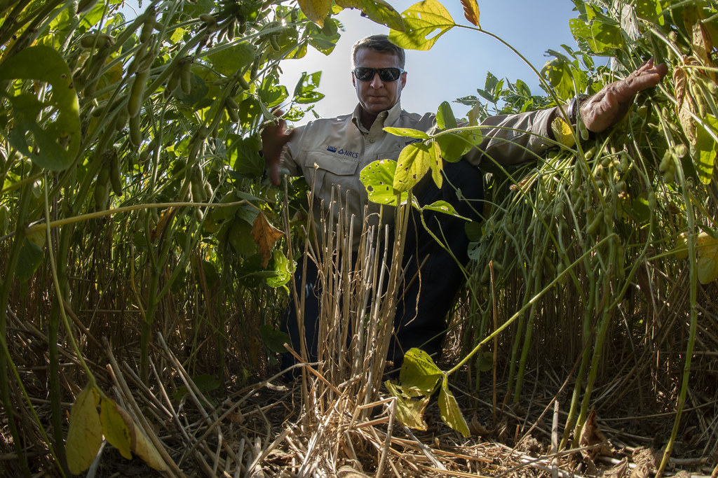
Bring field boundaries, crop condition, drainage concerns and seasonal records together. Farmers gain a clearer basis for scouting, irrigation, input planning and conversations with agronomists, lenders and partners.
Service 02
Forestry and natural assets
Keep a woodland record that outlasts the memory of it.
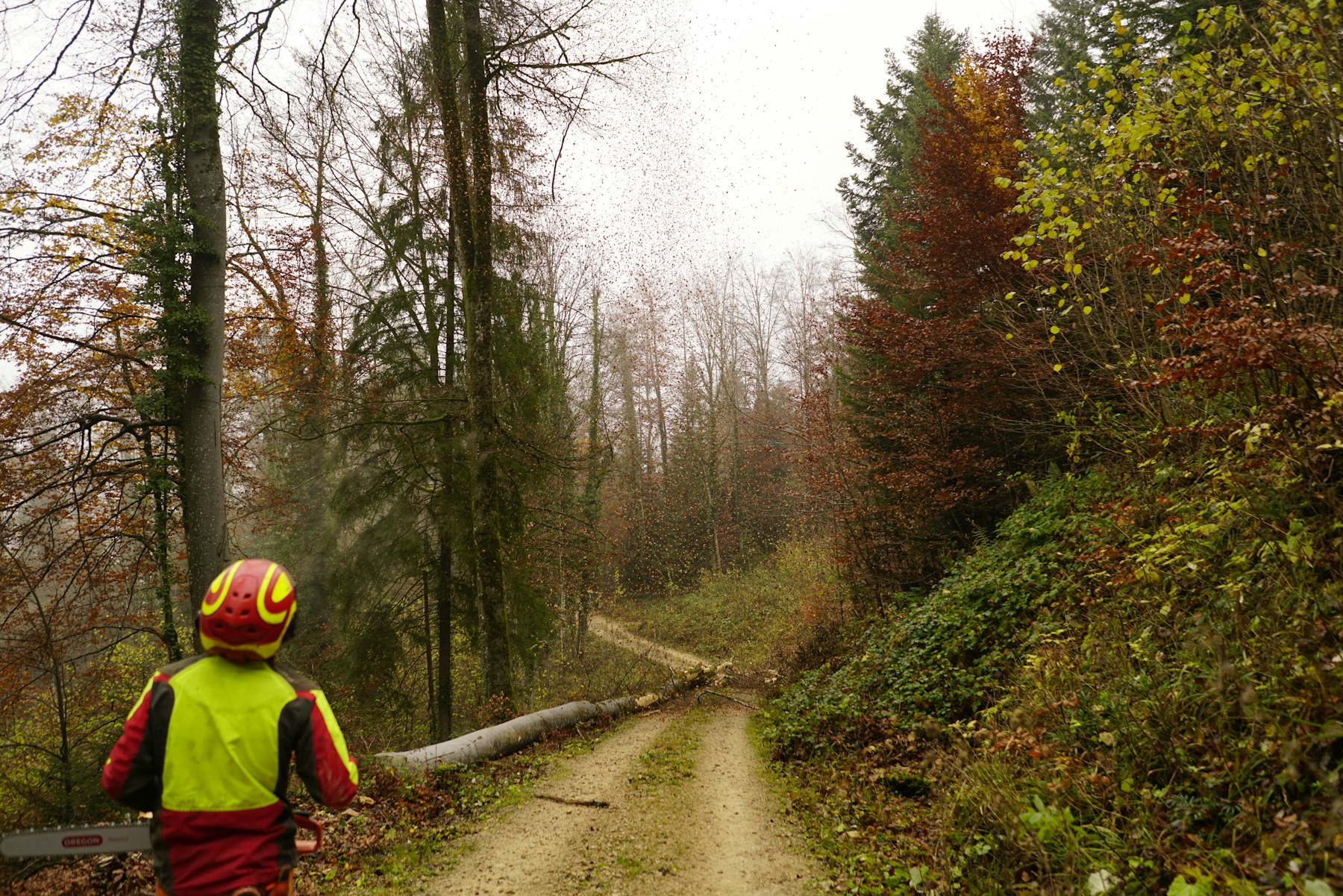
Follow condition and change across woodland blocks, access routes and managed areas. A consistent record supports stewardship, restoration planning, ownership transitions and informed discussion with buyers, partners and land managers.
Service 03
Flood intelligence and land resilience
Understand where water gathers, moves and returns.
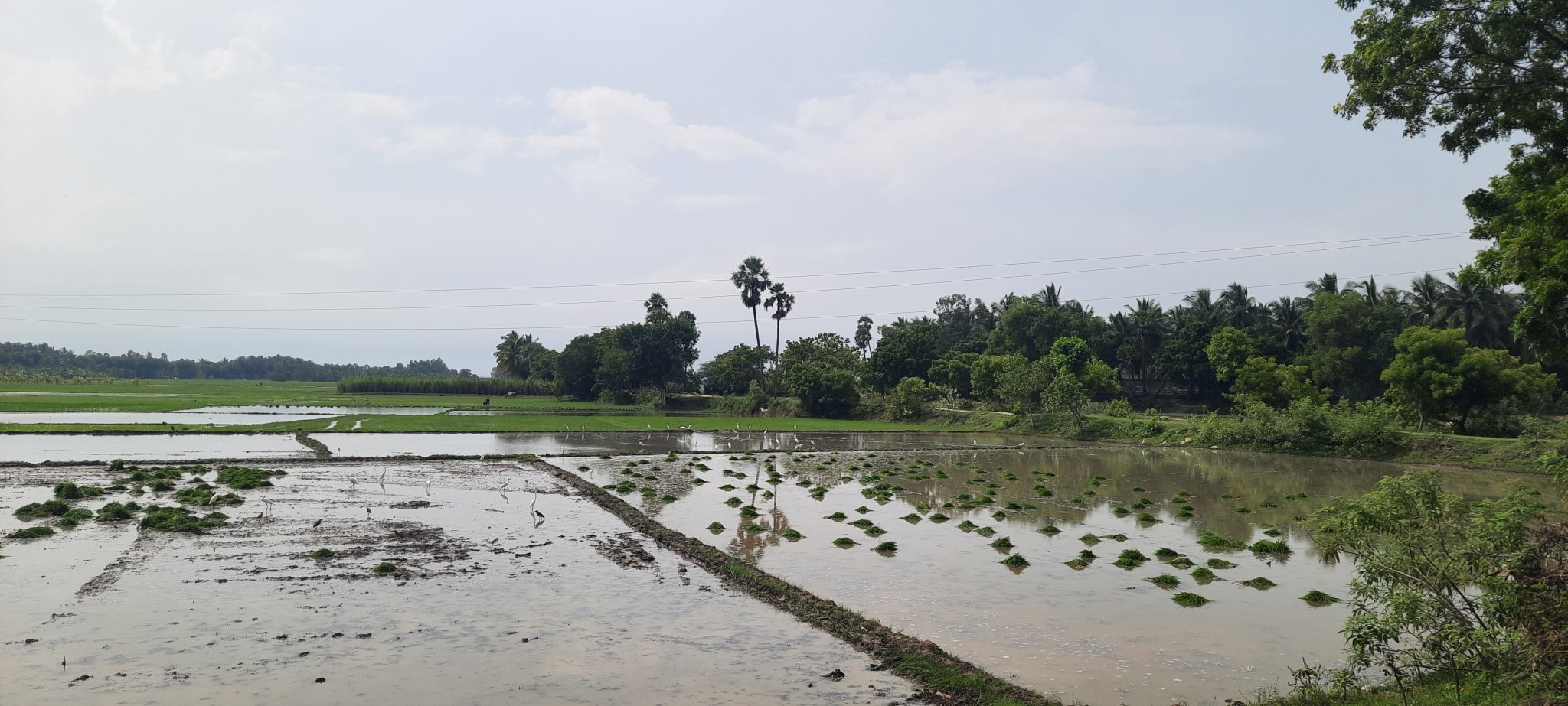
Map new water after an event, in any weather, and keep vulnerable areas, drainage routes and completed works in one property history. Planning for access, buffers, ditches, culverts and recovery starts from what actually happened.
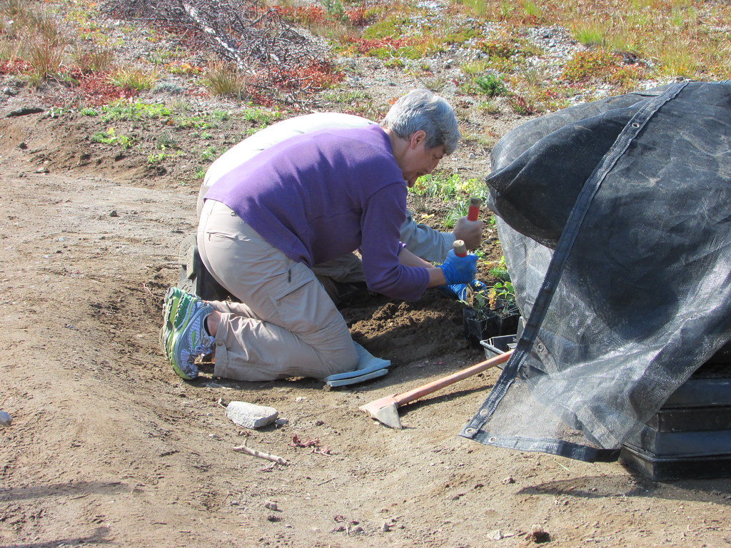
- 01Condition
- 02Action
- 03Recovery
Service 04
Land remediation
Show the difference responsible work makes.
Establish an honest starting record for damaged or underperforming ground. Follow the work through recovery so owners, funders and project partners can understand what changed and what still needs attention.
Service 05
IoT water conservation
Put water where it earns its keep.
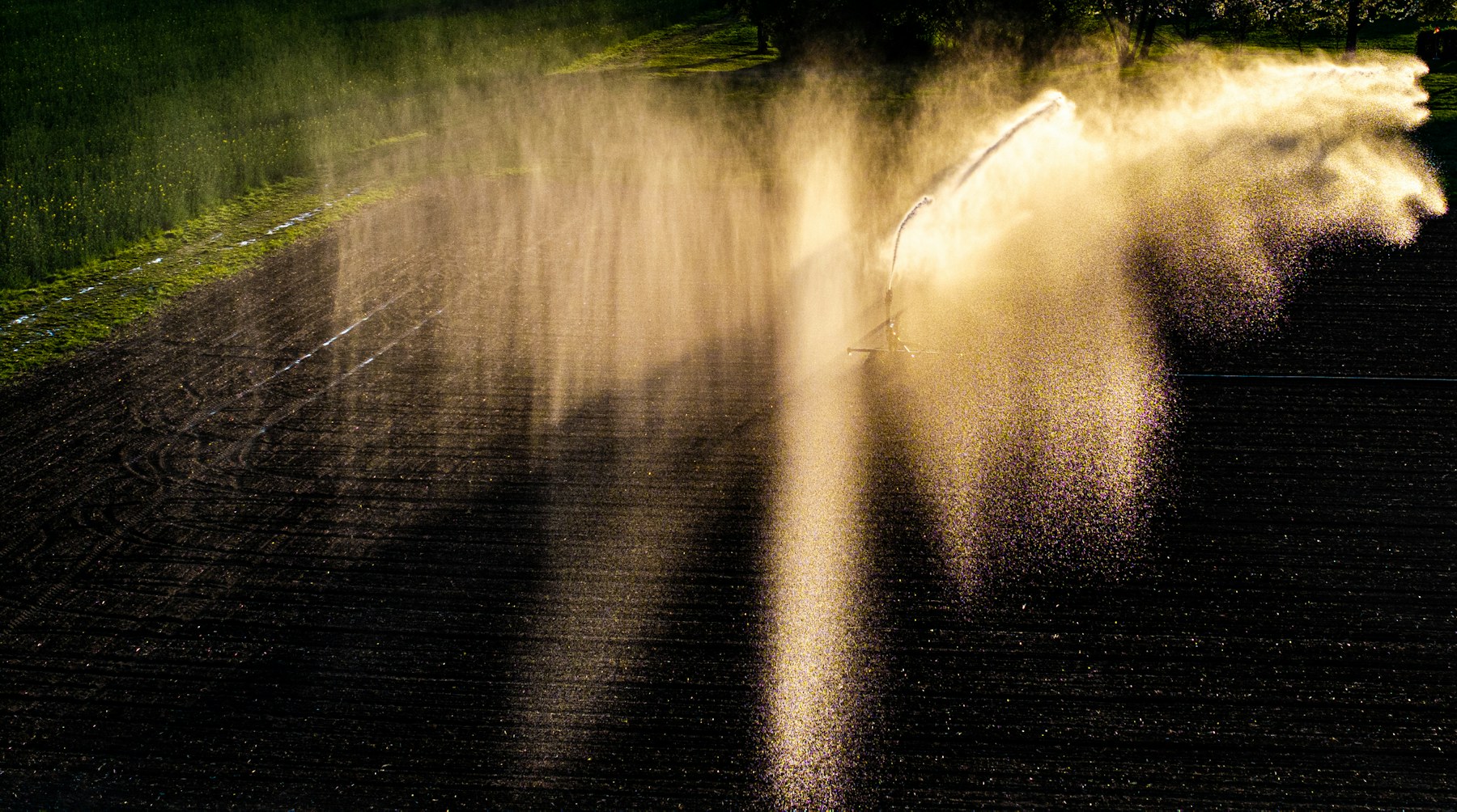
Connect field and irrigation observations to the places where water is used. Teams can spot unusual demand, compare operating periods and make timely adjustments without turning the farm into a technology showcase.
Service 06
Carbon and ESG evidence
Turn responsible land management into a record others can understand.
Organize boundaries, land and field records, soil and crop practices, water actions, trees and margins and completed works into a dated evidence file. Owners control what is shared and can prepare clearly for buyers, lenders, programmes and independent review.
Platform
One platform. The full breadth of land intelligence.
Every capability below is part of the same system and the same account, and every output carries its date, how much of the land it saw and how far it can be relied on.
- Field and crop intelligence
Season-by-season condition, history and comparison for every field.
- Individual tree monitoring
Date palms and orchards followed tree by tree, with early decline flags.
- Water conservation and irrigation
Demand-led scheduling, waste surfaced, savings measured.
- Flood assessment in any weather
New water mapped after an event, affected areas named.
- Spray and application windows
Wind-aware timing for safe, effective field work.
- Soil evidence by depth
Moisture, temperature, pH and carbon with honest provenance.
- Land records and legal descriptions
Registered boundaries and surveyed descriptions in one register.
- Insurance evidence
Before-and-after records prepared for claims and review.
- Carbon, forestation and ESG
Versioned submissions and auditable evidence for climate programmes.
- Atmospheric context
Nitrogen dioxide and methane reported honestly at regional scale.
- Minerals and land surface
Indicators of where ground truth is worth collecting.
- Erosion risk
Slope, cover and rainfall composed into a graded, explained risk.
- Connected operations
Pumps, valves, tanks and sensors in a live digital twin with safety-gated control.
- Solar asset surveys
Panel soiling graded against each array's own clean state.
- Dune monitoring for road safety
Sand movement watched along corridors, encroachment flagged with its location.
- Wildfire monitoring
Burned area mapped after an event, severity graded, recovery followed.
Industries
For every organization whose decisions begin with land.
- 01Arable and mixed farming
Field performance, irrigation and seasonal planning.
- 02Livestock and grassland
Water, pasture and property records.
- 03Forestry and estates
Long-term stewardship and change history.
- 04Flood and catchment teams
Resilience, intervention and recovery evidence.
- 05Remediation and natural capital
Condition, action and monitored improvement.
- 06Municipalities and public authorities
Parks, corridors, water and works, monitored and evidenced.
- 07Government and environment programmes
Forestation, carbon readiness and national land monitoring.
- 08Institutions and supply chains
Governed land information for responsible oversight.
Begin with the land you manage
Create your account and build a clearer property record.
Start with one organization, one farm or one area of land. Existing users can return directly to their workspace.